
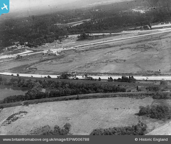
EPW006788 ENGLAND (1921). Brooklands, Weybridge, 1921
© Copyright OpenStreetMap contributors and licensed by the OpenStreetMap Foundation. 2026. Cartography is licensed as CC BY-SA.
Nearby Images (2)
EPW006788

EPW016858

Details
| Title | [EPW006788] Brooklands, Weybridge, 1921 |
| Reference | EPW006788 |
| Date | 25-June-1921 |
| Link | |
| Place name | WEYBRIDGE |
| Parish | |
| District | |
| Country | ENGLAND |
| Easting / Northing | 506703, 162796 |
| Longitude / Latitude | -0.46748871502953, 51.353706708114 |
| National Grid Reference | TQ067628 |
Pins

John Wass |
Friday 4th of December 2015 08:08:46 PM | |

Class31 |
Wednesday 17th of December 2014 08:06:58 PM | |
|
Class31 |
Wednesday 26th of February 2014 11:35:13 AM | |
|
Roy Cousins |
Monday 23rd of July 2012 01:15:12 PM | |
|
Roy Cousins |
Monday 23rd of July 2012 01:14:42 PM | |
|
Roy Cousins |
Monday 23rd of July 2012 01:14:03 PM |
User Comment Contributions

Brooklands |
Scorrybreck |
Sunday 16th of March 2014 10:36:28 PM |
|
Brooklands |
Scorrybreck |
Sunday 16th of March 2014 10:24:27 PM |