
EPW006313 ENGLAND (1921). The Royal Botanic Gardens, Kew, 1921

© Copyright OpenStreetMap contributors and licensed by the OpenStreetMap Foundation. 2026. Cartography is licensed as CC BY-SA.
Nearby Images (7)
EPW006313

EAW037059

EPW062039

EAW042637

EAW042636

EAW007424

EAW042632

Details
| Title | [EPW006313] The Royal Botanic Gardens, Kew, 1921 |
| Reference | EPW006313 |
| Date | May-1921 |
| Link | |
| Place name | KEW |
| Parish | |
| District | |
| Country | ENGLAND |
| Easting / Northing | 518377, 176711 |
| Longitude / Latitude | -0.29525037381392, 51.476471352878 |
| National Grid Reference | TQ184767 |
Pins


User Comment Contributions
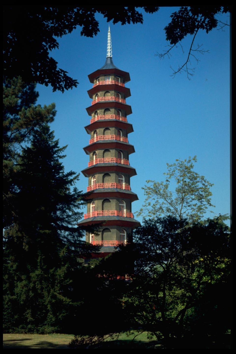
The Pagoda Kew Gardens |

Alan McFaden |
Monday 10th of November 2014 11:39:13 AM |

The Palm House Kew Gardens |
Alan McFaden |
Monday 10th of November 2014 11:38:48 AM |