
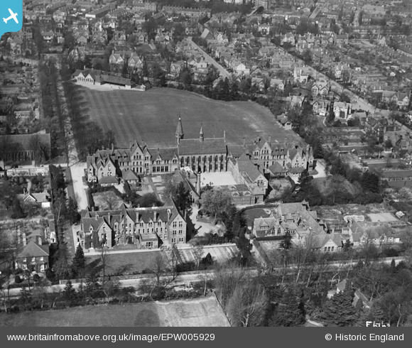
EPW005929 ENGLAND (1921). Reading School, Reading, 1921
© Copyright OpenStreetMap contributors and licensed by the OpenStreetMap Foundation. 2026. Cartography is licensed as CC BY-SA.
Nearby Images (14)
EPW005929

EAW037481

EPW005931

EAW037477

EPW005927

EPW005928

EAW037482

EPW005930

EAW037483

EAW037476

EAW037475

EAW037480

EAW037478

EAW037479

Details
| Title | [EPW005929] Reading School, Reading, 1921 |
| Reference | EPW005929 |
| Date | March-1921 |
| Link | |
| Place name | READING |
| Parish | |
| District | |
| Country | ENGLAND |
| Easting / Northing | 472769, 172694 |
| Longitude / Latitude | -0.95272412157931, 51.448062310506 |
| National Grid Reference | SU728727 |
Pins
Be the first to add a comment to this image!