
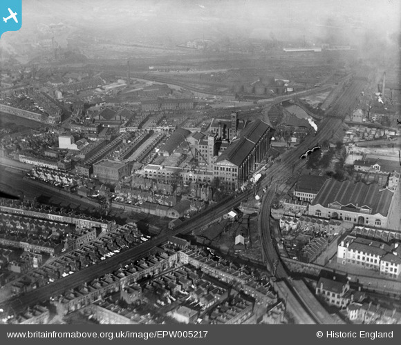
EPW005217 ENGLAND (1921). Bryant and May Match Factory, Bow, 1921
© Copyright OpenStreetMap contributors and licensed by the OpenStreetMap Foundation. 2026. Cartography is licensed as CC BY-SA.
Nearby Images (5)
EPW005217

EPW005219

EPW005218

EPW005216

EPW005224

Details
| Title | [EPW005217] Bryant and May Match Factory, Bow, 1921 |
| Reference | EPW005217 |
| Date | January-1921 |
| Link | |
| Place name | BOW |
| Parish | |
| District | |
| Country | ENGLAND |
| Easting / Northing | 537320, 183232 |
| Longitude / Latitude | -0.0200755897168, 51.530794992117 |
| National Grid Reference | TQ373832 |
Pins

Debbie Omahoney |
Saturday 6th of June 2026 01:48:12 PM | |
|
Leslie B |
Sunday 18th of December 2022 10:06:14 PM | |
|
Leslie B |
Thursday 7th of July 2022 08:07:54 PM | |
|
Leslie B |
Thursday 7th of July 2022 08:07:20 PM | |
|
Tim C |
Thursday 8th of August 2019 10:54:55 AM | |
|
Leslie B |
Tuesday 23rd of February 2016 11:05:15 PM | |
|
Leslie B |
Tuesday 23rd of February 2016 11:01:56 PM | |
|
brian |
Friday 27th of February 2015 10:40:47 PM | |
|
POBus |
Tuesday 28th of August 2012 07:00:53 PM | |
|
BigglesH |
Saturday 30th of June 2012 01:37:18 AM | |
|
EZTD |
Friday 29th of June 2012 10:25:18 PM |
User Comment Contributions
Railway lines through middle are modern Liverpool Street Line out to Essex (next stop Stratford). Photo taken from South-West, overhead Bow. |
BigglesH |
Saturday 30th of June 2012 01:41:49 AM |