
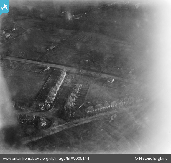
EPW005144 ENGLAND (1920). West Avenue, Hendon, 1920
© Copyright OpenStreetMap contributors and licensed by the OpenStreetMap Foundation. 2025. Cartography is licensed as CC BY-SA.
Nearby Images (3)
EPW005144

EPW005147

EPW005146

Details
| Title | [EPW005144] West Avenue, Hendon, 1920 |
| Reference | EPW005144 |
| Date | 17-December-1920 |
| Link | |
| Place name | HENDON |
| Parish | |
| District | |
| Country | ENGLAND |
| Easting / Northing | 523754, 188814 |
| Longitude / Latitude | -0.21360176027771, 51.584103382058 |
| National Grid Reference | TQ238888 |
Pins
Be the first to add a comment to this image!