
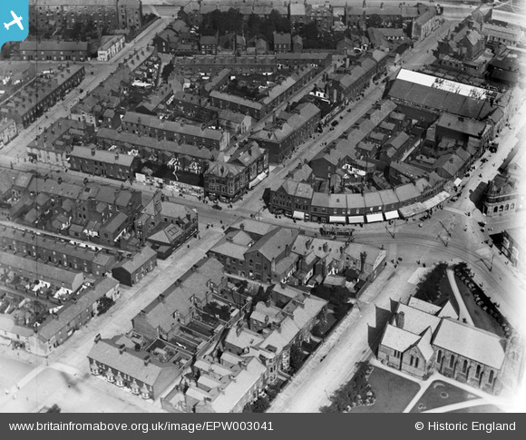
EPW003041 ENGLAND (1920). Albert Square and Victoria Street, Fleetwood, 1920
© Copyright OpenStreetMap contributors and licensed by the OpenStreetMap Foundation. 2026. Cartography is licensed as CC BY-SA.
Nearby Images (3)
EPW003041

EPW038737

EPW003044

Details
| Title | [EPW003041] Albert Square and Victoria Street, Fleetwood, 1920 |
| Reference | EPW003041 |
| Date | July-1920 |
| Link | |
| Place name | FLEETWOOD |
| Parish | FLEETWOOD |
| District | |
| Country | ENGLAND |
| Easting / Northing | 333871, 448074 |
| Longitude / Latitude | -3.0071286598241, 53.924373306655 |
| National Grid Reference | SD339481 |
Pins

wadey |
Tuesday 7th of October 2014 12:54:06 PM |