
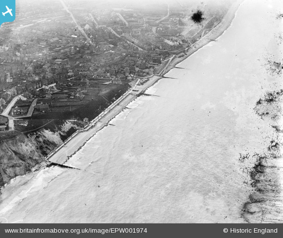
EPW001974 ENGLAND (1920). General view of the town, Sheringham, from the north-east, 1920
© Copyright OpenStreetMap contributors and licensed by the OpenStreetMap Foundation. 2026. Cartography is licensed as CC BY-SA.
Nearby Images (5)
EPW001974

EAW051654

EAW051655

EAW051653

EPW016557

Details
| Title | [EPW001974] General view of the town, Sheringham, from the north-east, 1920 |
| Reference | EPW001974 |
| Date | June-1920 |
| Link | |
| Place name | SHERINGHAM |
| Parish | SHERINGHAM |
| District | |
| Country | ENGLAND |
| Easting / Northing | 616169, 343551 |
| Longitude / Latitude | 1.2178129894738, 52.945411817604 |
| National Grid Reference | TG162436 |
Pins
Be the first to add a comment to this image!