
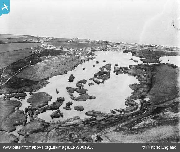
EPW001910 ENGLAND (1920). The Meare, Thorpeness, from the west, 1920
© Copyright OpenStreetMap contributors and licensed by the OpenStreetMap Foundation. 2026. Cartography is licensed as CC BY-SA.
Nearby Images (6)
EPW001910

EAW037848

EAW038336

EAW038305

EAW038353

EAW038306

Details
| Title | [EPW001910] The Meare, Thorpeness, from the west, 1920 |
| Reference | EPW001910 |
| Date | June-1920 |
| Link | |
| Place name | THORPENESS |
| Parish | ALDRINGHAM CUM THORPE |
| District | |
| Country | ENGLAND |
| Easting / Northing | 646606, 259659 |
| Longitude / Latitude | 1.607577461131, 52.17955246776 |
| National Grid Reference | TM466597 |
Pins

ChrisJones |
Thursday 24th of July 2014 08:04:00 PM | |
|
holidayinsuffolk |
Tuesday 26th of March 2013 08:08:08 AM | |

Class31 |
Monday 11th of March 2013 01:25:21 PM | |
|
Class31 |
Monday 11th of March 2013 01:24:37 PM | |
|
Class31 |
Monday 11th of March 2013 01:23:26 PM | |
|
Dennis Jackson |
Sunday 10th of March 2013 12:47:09 AM | |
|
Dennis Jackson |
Sunday 10th of March 2013 12:36:57 AM | |
|
Dennis Jackson |
Sunday 10th of March 2013 12:36:03 AM | |
|
Dennis Jackson |
Sunday 10th of March 2013 12:34:28 AM | |
|
Dennis Jackson |
Monday 25th of June 2012 07:12:25 AM |