
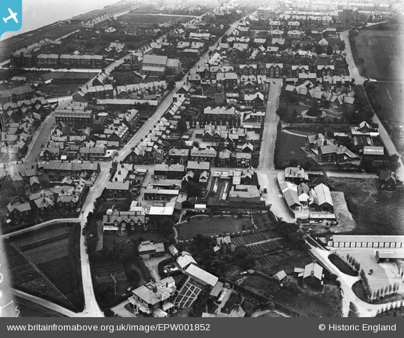
EPW001852 ENGLAND (1920). Church Road and St Edmund's Church, Hunstanton, 1920
© Copyright OpenStreetMap contributors and licensed by the OpenStreetMap Foundation. 2026. Cartography is licensed as CC BY-SA.
Nearby Images (5)
EPW001852

EPW021524

EAW050930

EAW050929

EPW021526

Details
| Title | [EPW001852] Church Road and St Edmund's Church, Hunstanton, 1920 |
| Reference | EPW001852 |
| Date | June-1920 |
| Link | |
| Place name | HUNSTANTON |
| Parish | HUNSTANTON |
| District | |
| Country | ENGLAND |
| Easting / Northing | 567541, 340866 |
| Longitude / Latitude | 0.49342392183435, 52.938684043748 |
| National Grid Reference | TF675409 |
