
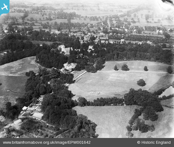
EPW001642 ENGLAND (1920). Stanmore Park and St John's Church, Stanmore, 1920
© Copyright OpenStreetMap contributors and licensed by the OpenStreetMap Foundation. 2026. Cartography is licensed as CC BY-SA.
Nearby Images (3)
EPW001642

EPW001643

EPW001641

Details
| Title | [EPW001642] Stanmore Park and St John's Church, Stanmore, 1920 |
| Reference | EPW001642 |
| Date | June-1920 |
| Link | |
| Place name | STANMORE |
| Parish | |
| District | |
| Country | ENGLAND |
| Easting / Northing | 516626, 191967 |
| Longitude / Latitude | -0.31539711963084, 51.61396457037 |
| National Grid Reference | TQ166920 |
Pins

up above |
Saturday 30th of June 2012 11:38:34 AM |