
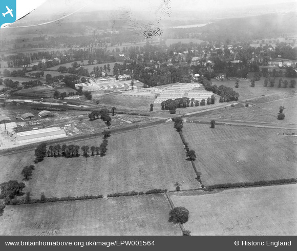
EPW001564 ENGLAND (1920). RAF West Ruislip, West Ruislip, 1920
© Copyright OpenStreetMap contributors and licensed by the OpenStreetMap Foundation. 2026. Cartography is licensed as CC BY-SA.
Nearby Images (4)
EPW001564

EPW044192

EPW044502

EPW044191

Details
| Title | [EPW001564] RAF West Ruislip, West Ruislip, 1920 |
| Reference | EPW001564 |
| Date | June-1920 |
| Link | |
| Place name | WEST RUISLIP |
| Parish | |
| District | |
| Country | ENGLAND |
| Easting / Northing | 508761, 186596 |
| Longitude / Latitude | -0.43062032598375, 51.567259548764 |
| National Grid Reference | TQ088866 |
Pins

The Laird |
Wednesday 29th of April 2015 04:07:30 PM | |
|
The Laird |
Wednesday 29th of April 2015 04:01:15 PM | |
|
vertaler |
Friday 7th of December 2012 12:00:17 PM | |
That's about right vertaler - Cordingley Road, Lysander Road, Beaufort Road are in the area of your pin. Yours, Katy Britain from Above Cataloguing Team Leader |
Katy Whitaker |
Friday 7th of December 2012 03:07:21 PM |
It's Lysander Road. |
The Laird |
Wednesday 29th of April 2015 03:55:44 PM |