
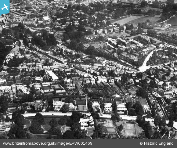
EPW001469 ENGLAND (1920). Falkland Road and environs, Dorking, 1920. This image has been produced from a print.
© Copyright OpenStreetMap contributors and licensed by the OpenStreetMap Foundation. 2026. Cartography is licensed as CC BY-SA.
Nearby Images (2)
EPW001469

EAW037056

Details
| Title | [EPW001469] Falkland Road and environs, Dorking, 1920. This image has been produced from a print. |
| Reference | EPW001469 |
| Date | June-1920 |
| Link | |
| Place name | DORKING |
| Parish | |
| District | |
| Country | ENGLAND |
| Easting / Northing | 516401, 148550 |
| Longitude / Latitude | -0.33290753614696, 51.223744891232 |
| National Grid Reference | TQ164486 |
Pins
Be the first to add a comment to this image!