
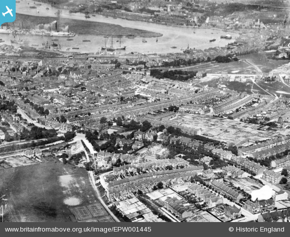
EPW001445 ENGLAND (1920). Troy Town, Rochester, 1920. This image has been produced from a print.
© Copyright OpenStreetMap contributors and licensed by the OpenStreetMap Foundation. 2026. Cartography is licensed as CC BY-SA.
Nearby Images (2)
EPW001445

EPW062150

Details
| Title | [EPW001445] Troy Town, Rochester, 1920. This image has been produced from a print. |
| Reference | EPW001445 |
| Date | 8-June-1920 |
| Link | |
| Place name | ROCHESTER |
| Parish | |
| District | |
| Country | ENGLAND |
| Easting / Northing | 574374, 167653 |
| Longitude / Latitude | 0.50600758843486, 51.380607063513 |
| National Grid Reference | TQ744677 |
Pins

Kizle7 |
Wednesday 2nd of August 2023 03:07:48 AM | |
|
Cliff |
Wednesday 13th of September 2017 06:45:23 PM | |
|
Switches |
Wednesday 27th of April 2016 08:28:23 PM | |
|
Switches |
Wednesday 27th of April 2016 08:27:16 PM | |
|
Switches |
Wednesday 27th of April 2016 08:25:27 PM | |
|
Switches |
Wednesday 27th of April 2016 08:24:19 PM | |
|
Switches |
Wednesday 27th of April 2016 08:21:34 PM | |
|
alastair wallace |
Saturday 21st of November 2015 01:07:40 AM |
User Comment Contributions
This is not Troy Town, but looking over Chatham to the north east from over Fort Pitt. |
JimP |
Sunday 29th of March 2015 01:07:23 PM |