
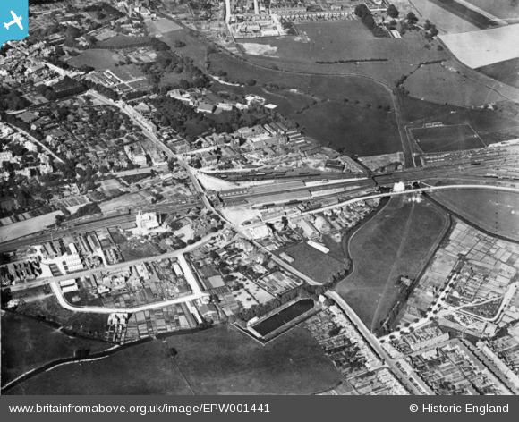
EPW001441 ENGLAND (1920). The railway station and environs, Ashford, 1920. This image has been produced from a copy-negative.
© Copyright OpenStreetMap contributors and licensed by the OpenStreetMap Foundation. 2026. Cartography is licensed as CC BY-SA.
Nearby Images (3)
EPW001441

EPW007029

EPW026060

Details
| Title | [EPW001441] The railway station and environs, Ashford, 1920. This image has been produced from a copy-negative. |
| Reference | EPW001441 |
| Date | 8-June-1920 |
| Link | |
| Place name | ASHFORD |
| Parish | |
| District | |
| Country | ENGLAND |
| Easting / Northing | 601129, 142204 |
| Longitude / Latitude | 0.87571745060714, 51.143188991675 |
| National Grid Reference | TR011422 |
Pins
Be the first to add a comment to this image!