
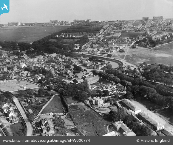
EPW000774 ENGLAND (1920). Hythe, from the north-west, 1920
© Copyright OpenStreetMap contributors and licensed by the OpenStreetMap Foundation. 2025. Cartography is licensed as CC BY-SA.
Nearby Images (3)
EPW000774

EPW026120

EPW009221

Details
| Title | [EPW000774] Hythe, from the north-west, 1920 |
| Reference | EPW000774 |
| Date | April-1920 |
| Link | |
| Place name | HYTHE |
| Parish | HYTHE |
| District | |
| Country | ENGLAND |
| Easting / Northing | 615867, 134690 |
| Longitude / Latitude | 1.081629098476, 51.070345548335 |
| National Grid Reference | TR159347 |
Pins

Stu Giles |
Thursday 17th of May 2018 08:56:15 AM | |
|
The Laird |
Saturday 9th of May 2015 12:24:45 PM | |
|
The Laird |
Saturday 9th of May 2015 12:22:44 PM | |
|
The Laird |
Saturday 9th of May 2015 12:21:53 PM | |
|
Paolo |
Tuesday 10th of July 2012 06:04:35 PM | |
|
Paolo |
Wednesday 27th of June 2012 06:03:03 PM | |
|
Paolo |
Wednesday 27th of June 2012 04:44:48 PM |