
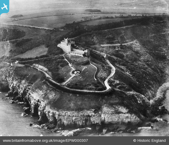
EPW000307 ENGLAND (1920). Durlston Head Castle, Durlston, 1920
© Copyright OpenStreetMap contributors and licensed by the OpenStreetMap Foundation. 2026. Cartography is licensed as CC BY-SA.
Nearby Images (2)
EPW000307

EPW000308

Details
| Title | [EPW000307] Durlston Head Castle, Durlston, 1920 |
| Reference | EPW000307 |
| Date | April-1920 |
| Link | |
| Place name | DURLSTON HEAD |
| Parish | SWANAGE |
| District | |
| Country | ENGLAND |
| Easting / Northing | 403488, 77257 |
| Longitude / Latitude | -1.9507154993159, 50.594441232098 |
| National Grid Reference | SZ035773 |
Pins


User Comment Contributions
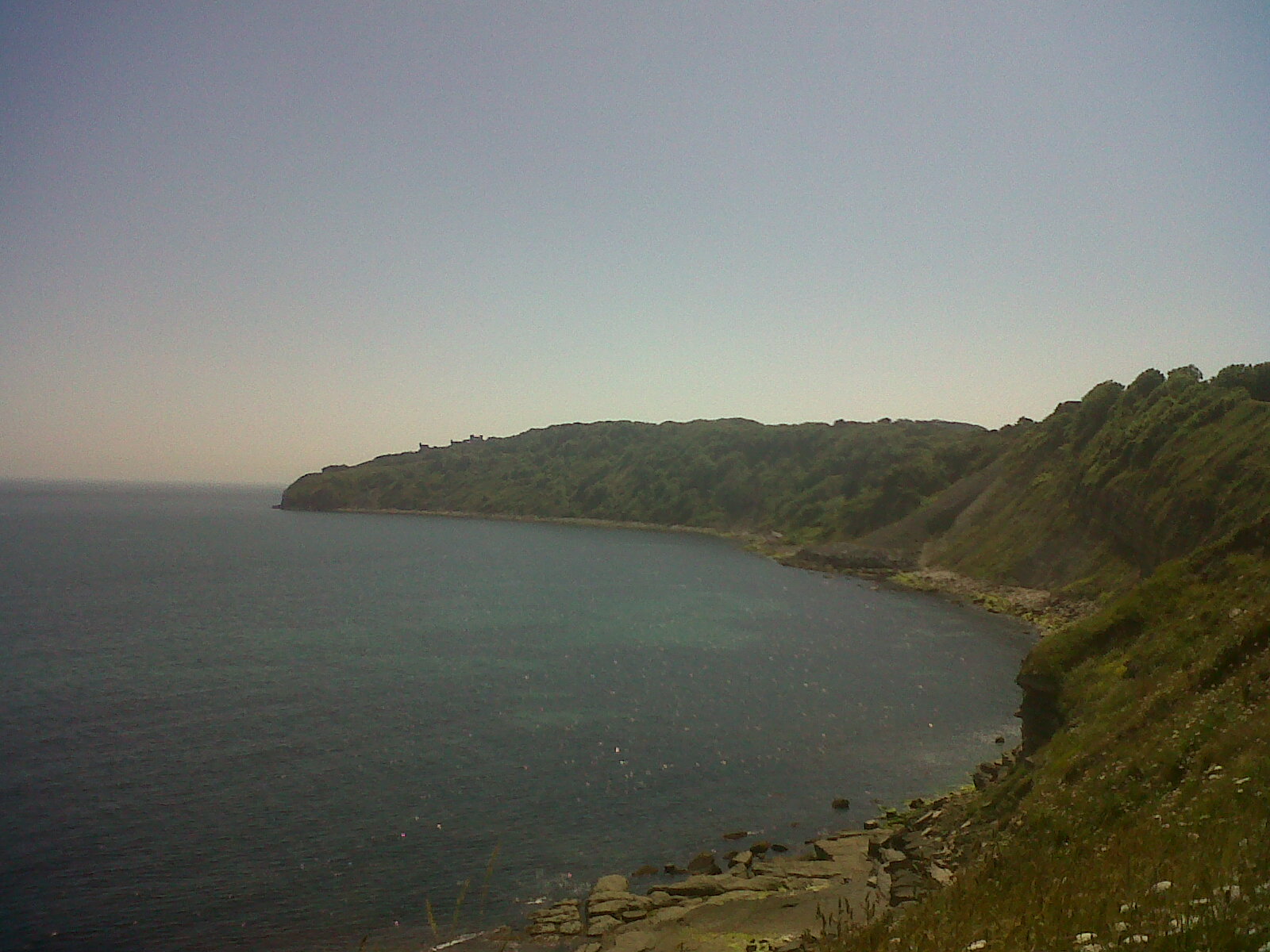
Durlston Bay |

Class31 |
Saturday 6th of July 2013 09:13:00 PM |
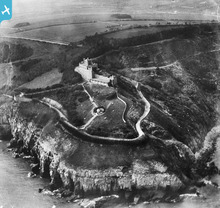
Durlston Head Castle |

Robert - Cumbria |
Wednesday 27th of June 2012 07:02:23 PM |