
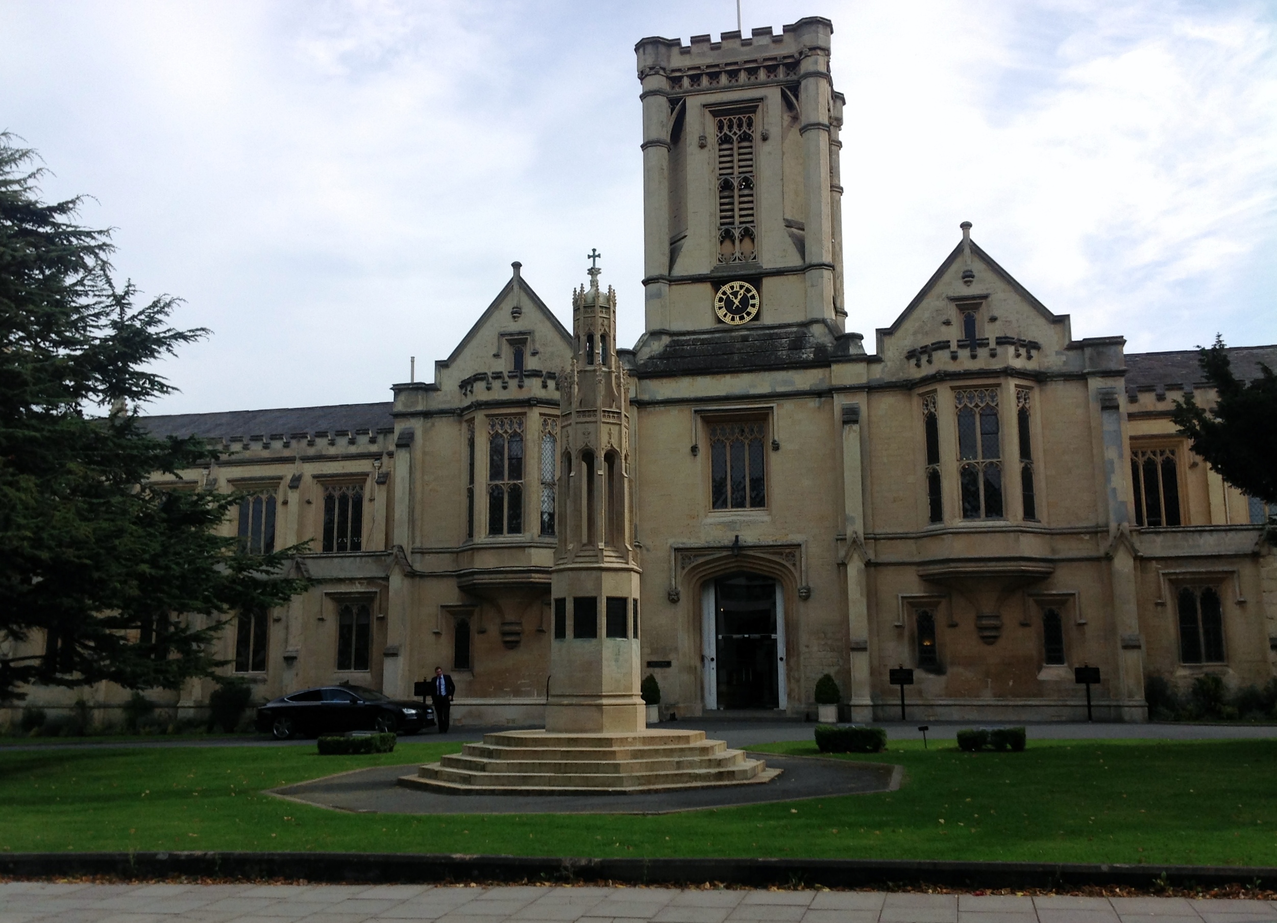
EPW000174 ENGLAND (1920). Cheltenham College, Cheltenham, 1920

© Copyright OpenStreetMap contributors and licensed by the OpenStreetMap Foundation. 2026. Cartography is licensed as CC BY-SA.
Nearby Images (13)
EPW000174

EPW000178

EPW048207

EPW000175

EAW006523

EPW024138

EPW024139

EPW048208

EAW006516

EPW024137

EAW006515

EPR000385

EPW024134

Details
| Title | [EPW000174] Cheltenham College, Cheltenham, 1920 |
| Reference | EPW000174 |
| Date | February-1920 |
| Link | |
| Place name | CHELTENHAM |
| Parish | |
| District | |
| Country | ENGLAND |
| Easting / Northing | 394890, 221470 |
| Longitude / Latitude | -2.0742624098033, 51.89132178932 |
| National Grid Reference | SO949215 |
Pins


User Comment Contributions
Cheltenham College |

Class31 |
Monday 11th of November 2013 01:44:46 PM |