
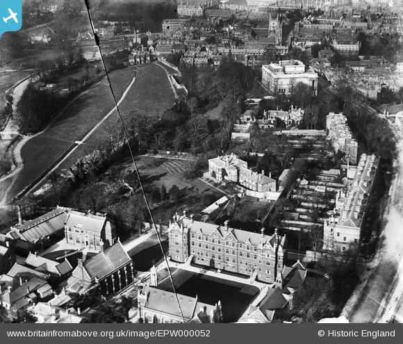
EPW000052 ENGLAND (1920). Scroope House and The Leys School, Cambridge, 1920
© Copyright OpenStreetMap contributors and licensed by the OpenStreetMap Foundation. 2026. Cartography is licensed as CC BY-SA.
Nearby Images (10)
EPW000052

EPW025480

EPW059040

EPW009775

EPW000055

EPW009788

EAW011254

EAW002920

EAW002928

EAW011253

Details
| Title | [EPW000052] Scroope House and The Leys School, Cambridge, 1920 |
| Reference | EPW000052 |
| Date | January-1920 |
| Link | |
| Place name | CAMBRIDGE |
| Parish | |
| District | |
| Country | ENGLAND |
| Easting / Northing | 544998, 257658 |
| Longitude / Latitude | 0.12179767848671, 52.197657563661 |
| National Grid Reference | TL450577 |
Pins
Be the first to add a comment to this image!