
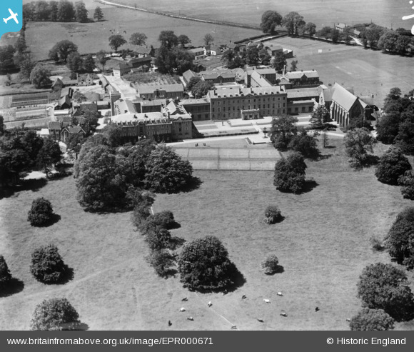
EPR000671 ENGLAND (1935). St Edmund's College, Old Hall Green, 1935
© Copyright OpenStreetMap contributors and licensed by the OpenStreetMap Foundation. 2025. Cartography is licensed as CC BY-SA.
Nearby Images (5)
EPR000671

EPR000670

EPR000673

EPR000674

EPR000675

Details
| Title | [EPR000671] St Edmund's College, Old Hall Green, 1935 |
| Reference | EPR000671 |
| Date | 22-June-1935 |
| Link | |
| Place name | OLD HALL GREEN |
| Parish | STANDON |
| District | |
| Country | ENGLAND |
| Easting / Northing | 537237, 222026 |
| Longitude / Latitude | -0.0059975800496043, 51.879448458912 |
| National Grid Reference | TL372220 |
Pins
Be the first to add a comment to this image!