
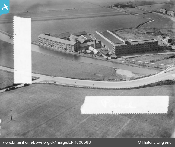
EPR000588 ENGLAND (1935). The Astmoor Tannery and Bridgewater Canal, Astmoor, 1935. This image was marked by Aero Pictorial Ltd for photo editing.
© Copyright OpenStreetMap contributors and licensed by the OpenStreetMap Foundation. 2026. Cartography is licensed as CC BY-SA.
Nearby Images (2)
EPR000588

EPR000587

Details
| Title | [EPR000588] The Astmoor Tannery and Bridgewater Canal, Astmoor, 1935. This image was marked by Aero Pictorial Ltd for photo editing. |
| Reference | EPR000588 |
| Date | 10-May-1935 |
| Link | |
| Place name | ASTMOOR |
| Parish | |
| District | |
| Country | ENGLAND |
| Easting / Northing | 353704, 382825 |
| Longitude / Latitude | -2.6953956080345, 53.3400298004 |
| National Grid Reference | SJ537828 |
Pins
Be the first to add a comment to this image!