
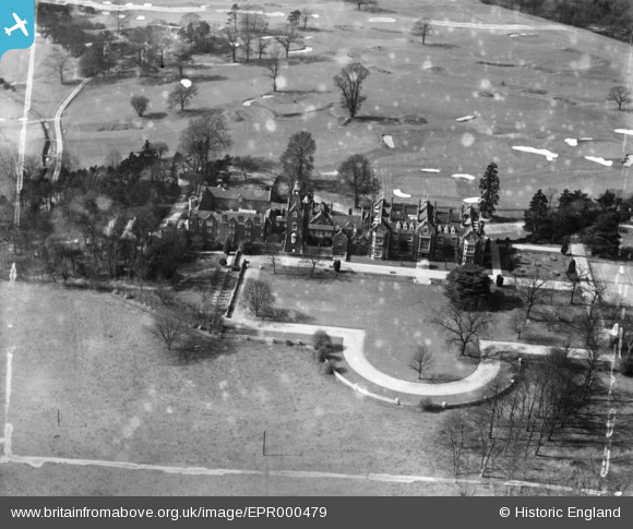
EPR000479 ENGLAND (1935). Bushey Hall, Bushey, 1935. This image has been produced from a damaged negative.
© Copyright OpenStreetMap contributors and licensed by the OpenStreetMap Foundation. 2026. Cartography is licensed as CC BY-SA.
Nearby Images (2)
EPR000479

EPR000478

Details
| Title | [EPR000479] Bushey Hall, Bushey, 1935. This image has been produced from a damaged negative. |
| Reference | EPR000479 |
| Date | 27-March-1935 |
| Link | |
| Place name | BUSHEY |
| Parish | |
| District | |
| Country | ENGLAND |
| Easting / Northing | 512594, 196645 |
| Longitude / Latitude | -0.37210648679395, 51.65683461582 |
| National Grid Reference | TQ126966 |
Pins
Be the first to add a comment to this image!