
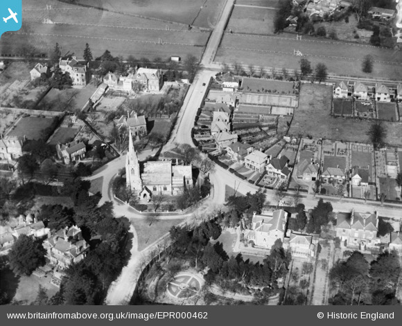
EPR000462 ENGLAND (1935). St Paul's Church, East Molesey, 1935
© Copyright OpenStreetMap contributors and licensed by the OpenStreetMap Foundation. 2026. Cartography is licensed as CC BY-SA.
Nearby Images (2)
EPR000462

EAW003674

Details
| Title | [EPR000462] St Paul's Church, East Molesey, 1935 |
| Reference | EPR000462 |
| Date | 21-March-1935 |
| Link | |
| Place name | EAST MOLESEY |
| Parish | |
| District | |
| Country | ENGLAND |
| Easting / Northing | 514637, 168630 |
| Longitude / Latitude | -0.35170328965, 51.404602728317 |
| National Grid Reference | TQ146686 |
Pins
Be the first to add a comment to this image!