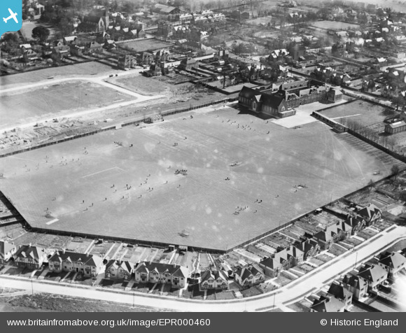
EPR000460 ENGLAND (1935). Playing field at Ashford County Grammar School, Ashford, 1935
© Copyright OpenStreetMap contributors and licensed by the OpenStreetMap Foundation. 2026. Cartography is licensed as CC BY-SA.
Details
| Title | [EPR000460] Playing field at Ashford County Grammar School, Ashford, 1935 |
| Reference | EPR000460 |
| Date | 21-March-1935 |
| Link | |
| Place name | ASHFORD |
| Parish | |
| District | |
| Country | ENGLAND |
| Easting / Northing | 506953, 171776 |
| Longitude / Latitude | -0.46119301655835, 51.434384769108 |
| National Grid Reference | TQ070718 |
Pins

intothefireuk |
Wednesday 14th of September 2016 09:56:27 PM | |

intothefireuk |
Wednesday 14th of September 2016 09:56:21 PM | |

JOHNAA |
Monday 17th of November 2014 09:11:10 PM |
User Comment Contributions
Not to be confused with Ashford (Kent) Boys' or Girls' Grammar Schools. |

Microbe |
Thursday 27th of August 2015 10:29:07 PM |


![[EPR000460] Playing field at Ashford County Grammar School, Ashford, 1935](http://britainfromabove.org.uk/sites/all/libraries/aerofilms-images/public/100x100/EPR/000/EPR000460.jpg)
![[EPW028356] Church Road, Ashford, 1929](http://britainfromabove.org.uk/sites/all/libraries/aerofilms-images/public/100x100/EPW/028/EPW028356.jpg)
![[EPW023520] Dudley Road and environs, Ashford, 1928](http://britainfromabove.org.uk/sites/all/libraries/aerofilms-images/public/100x100/EPW/023/EPW023520.jpg)