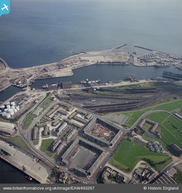
EAW493267 ENGLAND (1985). Docks, Sunderland, 1985
    © Copyright OpenStreetMap contributors and licensed by the OpenStreetMap Foundation. 2025. Cartography is licensed as CC BY-SA.
  
Nearby Images (6)
Details
| Title | [EAW493267] Docks, Sunderland, 1985 | 
| Reference | EAW493267 | 
| Date | 2-October-1985 | 
| Link | |
| Place name | SUNDERLAND | 
| Parish | NON CIVIL PARISH | 
| District | |
| Country | ENGLAND | 
| Easting / Northing | 440890, 557349 | 
| Longitude / Latitude | -1.362154456254, 54.909094923302 | 
| National Grid Reference | NZ409573 | 
Pins
Be the first to add a comment to this image!
 
             
  ![[EAW493267] Docks, Sunderland, 1985](http://britainfromabove.org.uk/sites/all/libraries/aerofilms-images/public/100x100/EAW/493/EAW493267.jpg) 
  
                                          ![[EAW001017] St John's Church, Town Moor and Hudson Dock North, Sunderland, 1946. This image has been produced from a damaged negative.](http://britainfromabove.org.uk/sites/all/libraries/aerofilms-images/public/100x100/EAW/001/EAW001017.jpg) 
 ![[EPW020536] Hudson Docks and the harbour entrance, Sunderland, 1928](http://britainfromabove.org.uk/sites/all/libraries/aerofilms-images/public/100x100/EPW/020/EPW020536.jpg) 
 ![[EPW020531] Hudson Docks, Sunderland, 1928](http://britainfromabove.org.uk/sites/all/libraries/aerofilms-images/public/100x100/EPW/020/EPW020531.jpg) 
 ![[EPW020537] Hendon and Hudson Docks and the harbour entrance, Sunderland, 1928](http://britainfromabove.org.uk/sites/all/libraries/aerofilms-images/public/100x100/EPW/020/EPW020537.jpg) 
 ![[EAW003183] The North Eastern Marine Engineering Company Works and the entrance to Sunderland Harbour, Sunderland, 1946](http://britainfromabove.org.uk/sites/all/libraries/aerofilms-images/public/100x100/EAW/003/EAW003183.jpg)