
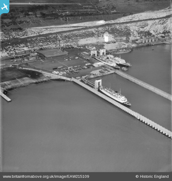
EAW215109 ENGLAND (1971). Eastern Docks, Dover, 1971
© Copyright OpenStreetMap contributors and licensed by the OpenStreetMap Foundation. 2026. Cartography is licensed as CC BY-SA.
Nearby Images (2)
EAW215109

EAW193516

Details
| Title | [EAW215109] Eastern Docks, Dover, 1971 |
| Reference | EAW215109 |
| Date | 10-October-1971 |
| Link | |
| Place name | DOVER |
| Parish | DOVER |
| District | |
| Country | ENGLAND |
| Easting / Northing | 633598, 141635 |
| Longitude / Latitude | 1.3388003763653, 51.125755559837 |
| National Grid Reference | TR336416 |
Pins
 |

Billy Turner |
Thursday 2nd of September 2021 09:08:55 PM |

mannidaze |
Friday 25th of January 2019 03:43:13 PM | |
|
mannidaze |
Friday 25th of January 2019 03:41:19 PM |