
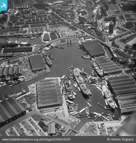
EAW164220 ENGLAND (1966). Canada Dock, London, 1966
© Copyright OpenStreetMap contributors and licensed by the OpenStreetMap Foundation. 2026. Cartography is licensed as CC BY-SA.
Nearby Images (5)
EAW164220

EPW044142

EPW044146

EPW060454

EAW043642

Details
| Title | [EAW164220] Canada Dock, London, 1966 |
| Reference | EAW164220 |
| Date | 30-June-1966 |
| Link | |
| Place name | ROTHERHITHE |
| Parish | NON CIVIL PARISH |
| District | |
| Country | ENGLAND |
| Easting / Northing | 535663, 179185 |
| Longitude / Latitude | -0.045509377329531, 51.494824239934 |
| National Grid Reference | TQ357792 |
Pins

Matt Aldred edob.mattaldred.com |
Thursday 21st of May 2020 10:16:54 PM | |

Mike |
Tuesday 24th of September 2019 12:38:13 PM | |
|
billybuttons |
Tuesday 1st of December 2015 08:25:17 PM |