
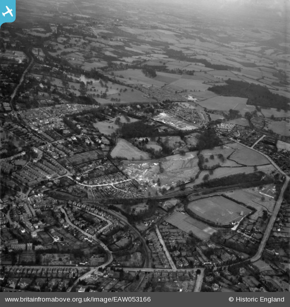
EAW053166 ENGLAND (1954). Banner Farm Estate in the early stages of construction and environs, Royal Tunbridge Wells, 1954
© Copyright OpenStreetMap contributors and licensed by the OpenStreetMap Foundation. 2026. Cartography is licensed as CC BY-SA.
Nearby Images (3)
EAW053166

EAW053169

EAW053170

Details
| Title | [EAW053166] Banner Farm Estate in the early stages of construction and environs, Royal Tunbridge Wells, 1954 |
| Reference | EAW053166 |
| Date | 22-February-1954 |
| Link | |
| Place name | ROYAL TUNBRIDGE WELLS |
| Parish | |
| District | |
| Country | ENGLAND |
| Easting / Northing | 559171, 138727 |
| Longitude / Latitude | 0.27484445903041, 51.125152630637 |
| National Grid Reference | TQ592387 |
Pins

redmist |
Sunday 21st of November 2021 02:09:15 PM | |
|
Post-war prefabs |
Friday 7th of February 2020 06:03:39 PM |