
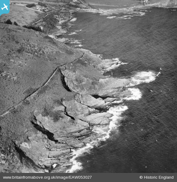
EAW053027 ENGLAND (1953). Talland Cliff and Talland Sand, Talland, 1953
© Copyright OpenStreetMap contributors and licensed by the OpenStreetMap Foundation. 2025. Cartography is licensed as CC BY-SA.
Nearby Images (2)
EAW053027

EAW051353

Details
| Title | [EAW053027] Talland Cliff and Talland Sand, Talland, 1953 |
| Reference | EAW053027 |
| Date | 19-November-1953 |
| Link | |
| Place name | TALLAND |
| Parish | LANSALLOS |
| District | |
| Country | ENGLAND |
| Easting / Northing | 222176, 51055 |
| Longitude / Latitude | -4.4988806576816, 50.331933426995 |
| National Grid Reference | SX222511 |
