
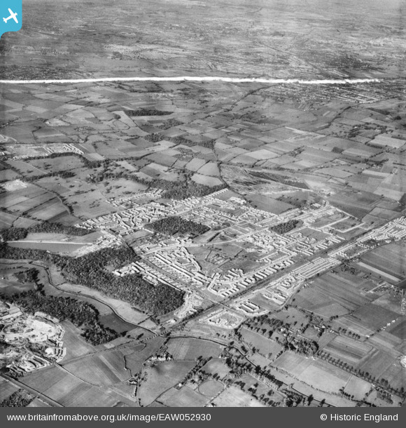
EAW052930 ENGLAND (1953). Belhus Park and the residential area alongside Dilkes Park and Brannett's Wood, South Ockendon, from the south-east, 1953. This image was marked by Aerofilms Ltd for photo editing.
© Copyright OpenStreetMap contributors and licensed by the OpenStreetMap Foundation. 2026. Cartography is licensed as CC BY-SA.
Nearby Images (4)
EAW052930

EAW052916

EAW052920

EAW052929

Details
| Title | [EAW052930] Belhus Park and the residential area alongside Dilkes Park and Brannett's Wood, South Ockendon, from the south-east, 1953. This image was marked by Aerofilms Ltd for photo editing. |
| Reference | EAW052930 |
| Date | 3-November-1953 |
| Link | |
| Place name | SOUTH OCKENDON |
| Parish | |
| District | |
| Country | ENGLAND |
| Easting / Northing | 558997, 180659 |
| Longitude / Latitude | 0.29105901427632, 51.501987517191 |
| National Grid Reference | TQ590807 |
