
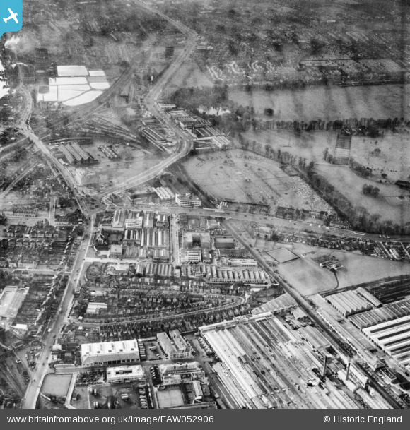
EAW052906 ENGLAND (1953). Power Road, Kensington Cemetery and the surrounding area, Brentford, 1953
© Copyright OpenStreetMap contributors and licensed by the OpenStreetMap Foundation. 2026. Cartography is licensed as CC BY-SA.
Nearby Images (15)
EAW052906

EAW052905

EPR000528
 on Gunnersbury Avenue, Gunnersbury, 1935")
EAW052908

EAW052901

EAW052900

EAW052935

EAW052903

EAW052902

EAW052940

EAW052943

EAW052909

EAW052936

EPW021261

EAW052904

Details
| Title | [EAW052906] Power Road, Kensington Cemetery and the surrounding area, Brentford, 1953 |
| Reference | EAW052906 |
| Date | 3-November-1953 |
| Link | |
| Place name | BRENTFORD |
| Parish | |
| District | |
| Country | ENGLAND |
| Easting / Northing | 519310, 178595 |
| Longitude / Latitude | -0.28118396720171, 51.493209611698 |
| National Grid Reference | TQ193786 |
Pins

Leslie B |
Thursday 22nd of December 2022 04:33:33 PM |