
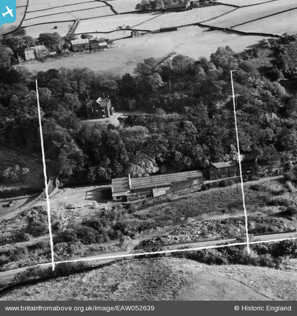
EAW052639 ENGLAND (1953). Stoodley Bridge Mill, Todmorden, 1953. This image was marked by Aerofilms Ltd for photo editing.
© Copyright OpenStreetMap contributors and licensed by the OpenStreetMap Foundation. 2026. Cartography is licensed as CC BY-SA.
Nearby Images (7)
EAW052639

EAW052638

EAW052637

EPW061468

EAW052642

EAW052640

EAW052641

Details
| Title | [EAW052639] Stoodley Bridge Mill, Todmorden, 1953. This image was marked by Aerofilms Ltd for photo editing. |
| Reference | EAW052639 |
| Date | 4-October-1953 |
| Link | |
| Place name | TODMORDEN |
| Parish | TODMORDEN |
| District | |
| Country | ENGLAND |
| Easting / Northing | 396305, 424971 |
| Longitude / Latitude | -2.0560011076273, 53.720910645556 |
| National Grid Reference | SD963250 |
