
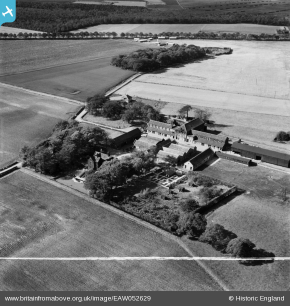
EAW052629 ENGLAND (1953). Mossborough Hall and Farm, Rainford, 1953. This image was marked by Aerofilms Ltd for photo editing.
© Copyright OpenStreetMap contributors and licensed by the OpenStreetMap Foundation. 2026. Cartography is licensed as CC BY-SA.
Nearby Images (8)
EAW052629

EAW052624

EAW052626

EAW052630

EAW052628

EAW052623

EAW052627

EAW052625

Details
| Title | [EAW052629] Mossborough Hall and Farm, Rainford, 1953. This image was marked by Aerofilms Ltd for photo editing. |
| Reference | EAW052629 |
| Date | 4-October-1953 |
| Link | |
| Place name | RAINFORD |
| Parish | RAINFORD |
| District | |
| Country | ENGLAND |
| Easting / Northing | 346456, 398984 |
| Longitude / Latitude | -2.8069990691983, 53.484594270393 |
| National Grid Reference | SJ465990 |
Pins
Be the first to add a comment to this image!