
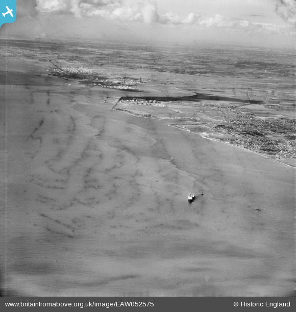
EAW052575 ENGLAND (1953). Thorney Bay, Hole Haven and Sea Reach, Canvey Island, from the south-east, 1953
© Copyright OpenStreetMap contributors and licensed by the OpenStreetMap Foundation. 2025. Cartography is licensed as CC BY-SA.
Nearby Images (2)
EAW052575

EAW021072

Details
| Title | [EAW052575] Thorney Bay, Hole Haven and Sea Reach, Canvey Island, from the south-east, 1953 |
| Reference | EAW052575 |
| Date | 5-October-1953 |
| Link | |
| Place name | CANVEY ISLAND |
| Parish | CANVEY ISLAND |
| District | |
| Country | ENGLAND |
| Easting / Northing | 581708, 181381 |
| Longitude / Latitude | 0.6183393765186, 51.501628466126 |
| National Grid Reference | TQ817814 |
