
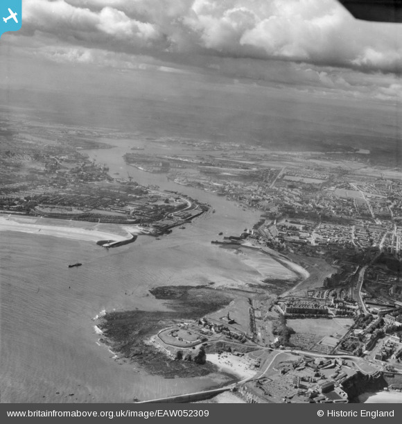
EAW052309 ENGLAND (1953). The River Tyne, Tynemouth, from the north-east, 1953
© Copyright OpenStreetMap contributors and licensed by the OpenStreetMap Foundation. 2026. Cartography is licensed as CC BY-SA.
Nearby Images (3)
EAW052309

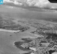
EAW052310

EPW040681

Details
| Title | [EAW052309] The River Tyne, Tynemouth, from the north-east, 1953 |
| Reference | EAW052309 |
| Date | 16-September-1953 |
| Link | |
| Place name | TYNEMOUTH |
| Parish | |
| District | |
| Country | ENGLAND |
| Easting / Northing | 437348, 569091 |
| Longitude / Latitude | -1.4158740901137, 55.014895444274 |
| National Grid Reference | NZ373691 |
Pins

Pixie77 |
Saturday 18th of November 2017 10:20:45 AM | |

Chris Kolonko |
Friday 15th of September 2017 10:03:14 PM | |
|
Chris Kolonko |
Friday 15th of September 2017 10:02:51 PM | |
|
jrussill |
Tuesday 2nd of December 2014 07:13:11 PM |
User Comment Contributions
WW2 COAST ARTILLERY BATTERY: S0015123 |
jrussill |
Tuesday 2nd of December 2014 07:15:32 PM |