
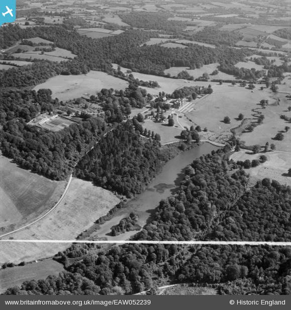
EAW052239 ENGLAND (1953). Bayham Lake, Bayham Abbey and surrounding parkland, Lamberhurst, 1953. This image was marked by Aerofilms Ltd for photo editing.
© Copyright OpenStreetMap contributors and licensed by the OpenStreetMap Foundation. 2026. Cartography is licensed as CC BY-SA.
Nearby Images (5)
EAW052239

EAW043921

EAW052240

EAW043920

EAW043919

Details
| Title | [EAW052239] Bayham Lake, Bayham Abbey and surrounding parkland, Lamberhurst, 1953. This image was marked by Aerofilms Ltd for photo editing. |
| Reference | EAW052239 |
| Date | 8-September-1953 |
| Link | |
| Place name | LAMBERHURST |
| Parish | LAMBERHURST |
| District | |
| Country | ENGLAND |
| Easting / Northing | 564073, 136756 |
| Longitude / Latitude | 0.34394438082081, 51.10605886873 |
| National Grid Reference | TQ641368 |
Pins
Be the first to add a comment to this image!