
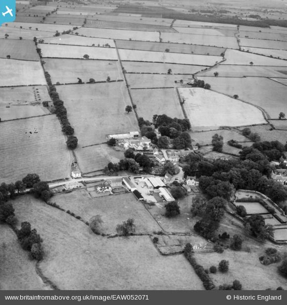
EAW052071 ENGLAND (1953). The village, Barnoldby le Beck, 1953
© Copyright OpenStreetMap contributors and licensed by the OpenStreetMap Foundation. 2025. Cartography is licensed as CC BY-SA.
Nearby Images (3)
EAW052071

EAW052072

EAW052073

Details
| Title | [EAW052071] The village, Barnoldby le Beck, 1953 |
| Reference | EAW052071 |
| Date | 7-September-1953 |
| Link | |
| Place name | BARNOLDBY LE BECK |
| Parish | BARNOLDBY LE BECK |
| District | |
| Country | ENGLAND |
| Easting / Northing | 523522, 403291 |
| Longitude / Latitude | -0.13705574740458, 53.51152071141 |
| National Grid Reference | TA235033 |
Pins
Be the first to add a comment to this image!