
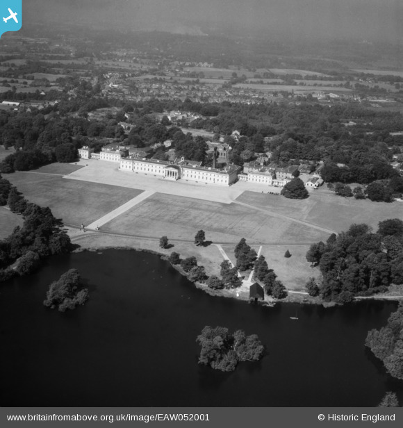
EAW052001 ENGLAND (1953). Royal Military Academy, Sandhurst, from the south-east, 1953
© Copyright OpenStreetMap contributors and licensed by the OpenStreetMap Foundation. 2025. Cartography is licensed as CC BY-SA.
Nearby Images (2)
EAW052001

EAW052000

Details
| Title | [EAW052001] Royal Military Academy, Sandhurst, from the south-east, 1953 |
| Reference | EAW052001 |
| Date | 5-September-1953 |
| Link | |
| Place name | SANDHURST |
| Parish | SANDHURST |
| District | |
| Country | ENGLAND |
| Easting / Northing | 486209, 160715 |
| Longitude / Latitude | -0.76225338830915, 51.338477307445 |
| National Grid Reference | SU862607 |
Pins
Be the first to add a comment to this image!