
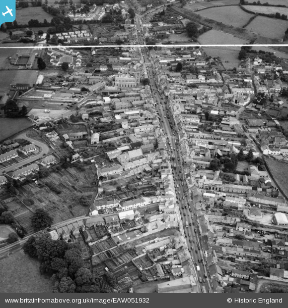
EAW051932 ENGLAND (1953). The town, Honiton, 1953. This image was marked by Aerofilms Ltd for photo editing.
© Copyright OpenStreetMap contributors and licensed by the OpenStreetMap Foundation. 2026. Cartography is licensed as CC BY-SA.
Nearby Images (6)
EAW051932

EAW051933

EAW051931

EPW023225

EPW013500

EPW023224

Details
| Title | [EAW051932] The town, Honiton, 1953. This image was marked by Aerofilms Ltd for photo editing. |
| Reference | EAW051932 |
| Date | 30-August-1953 |
| Link | |
| Place name | HONITON |
| Parish | HONITON |
| District | |
| Country | ENGLAND |
| Easting / Northing | 316148, 100656 |
| Longitude / Latitude | -3.1899836998464, 50.798827067469 |
| National Grid Reference | ST161007 |
Pins
Be the first to add a comment to this image!