
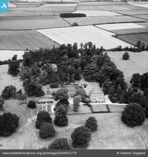
EAW051775 ENGLAND (1953). Conington Hall, Conington, 1953
© Copyright OpenStreetMap contributors and licensed by the OpenStreetMap Foundation. 2026. Cartography is licensed as CC BY-SA.
Nearby Images (2)
EAW051775

EAW051774

Details
| Title | [EAW051775] Conington Hall, Conington, 1953 |
| Reference | EAW051775 |
| Date | 14-August-1953 |
| Link | |
| Place name | CONINGTON |
| Parish | CONINGTON |
| District | |
| Country | ENGLAND |
| Easting / Northing | 531802, 266494 |
| Longitude / Latitude | -0.067731903364494, 52.280373478962 |
| National Grid Reference | TL318665 |
Pins
Be the first to add a comment to this image!