
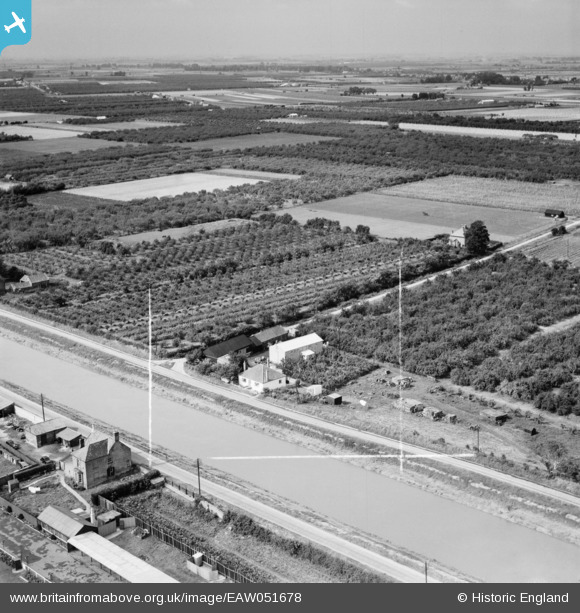
EAW051678 ENGLAND (1953). Nine Elms Fruit Farm and the River Nene, Wisbech, from the east, 1953. This image was marked by Aerofilms Ltd for photo editing.
© Copyright OpenStreetMap contributors and licensed by the OpenStreetMap Foundation. 2026. Cartography is licensed as CC BY-SA.
Nearby Images (4)
EAW051678

EAW051679

EAW051677

EAW051676

Details
| Title | [EAW051678] Nine Elms Fruit Farm and the River Nene, Wisbech, from the east, 1953. This image was marked by Aerofilms Ltd for photo editing. |
| Reference | EAW051678 |
| Date | 31-August-1953 |
| Link | |
| Place name | WISBECH |
| Parish | WISBECH |
| District | |
| Country | ENGLAND |
| Easting / Northing | 544931, 308165 |
| Longitude / Latitude | 0.14271760208826, 52.651473715906 |
| National Grid Reference | TF449082 |
Pins
Be the first to add a comment to this image!