
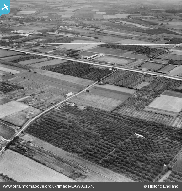
EAW051670 ENGLAND (1953). Mile Tree Lane and environs, Wisbech, 1953. This image was marked by Aerofilms Ltd for photo editing.
© Copyright OpenStreetMap contributors and licensed by the OpenStreetMap Foundation. 2026. Cartography is licensed as CC BY-SA.
Nearby Images (7)
EAW051670

EAW051673

EAW051674
 with fruit and vegetable plots to the rear, Wisbech, 1953. This image was marked by Aerofilms Ltd for photo editing.")
EAW051672

EAW051675
 with fruit and vegetable plots to the rear, Wisbech, 1953. This image was marked by Aerofilms Ltd for photo editing.")
EAW051676

EAW051677

Details
| Title | [EAW051670] Mile Tree Lane and environs, Wisbech, 1953. This image was marked by Aerofilms Ltd for photo editing. |
| Reference | EAW051670 |
| Date | 31-August-1953 |
| Link | |
| Place name | WISBECH |
| Parish | WISBECH |
| District | |
| Country | ENGLAND |
| Easting / Northing | 544597, 308228 |
| Longitude / Latitude | 0.13781097798613, 52.652128889893 |
| National Grid Reference | TF446082 |
Pins
Be the first to add a comment to this image!