
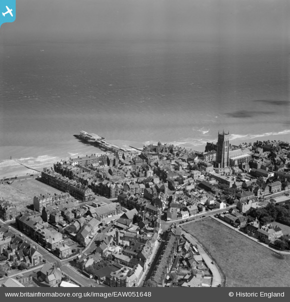
EAW051648 ENGLAND (1953). The Pier and the town, Cromer, from the south-west, 1953
© Copyright OpenStreetMap contributors and licensed by the OpenStreetMap Foundation. 2026. Cartography is licensed as CC BY-SA.
Nearby Images (20)
EAW051648

EPW021226

EPW021224

EPW001817

EAW051649

EPW001815

EAW051644
 and West Parade Hotel, Cromer, 1953")
EAW051643

EPW021227

EAW051646

EAW038297

EAW044010

EAW038298

EPW039244

EAW044012

EAW044014

EAW038300

EAW044016

EPW039248

EAW038302

Details
| Title | [EAW051648] The Pier and the town, Cromer, from the south-west, 1953 |
| Reference | EAW051648 |
| Date | 26-August-1953 |
| Link | |
| Place name | CROMER |
| Parish | CROMER |
| District | |
| Country | ENGLAND |
| Easting / Northing | 621737, 342157 |
| Longitude / Latitude | 1.2995951102163, 52.930628919398 |
| National Grid Reference | TG217422 |
Pins

Farrowbee |
Saturday 28th of March 2015 09:38:13 PM | |
|
Farrowbee |
Saturday 28th of March 2015 09:35:55 PM | |

Alan McFaden |
Saturday 8th of November 2014 11:06:38 AM | |
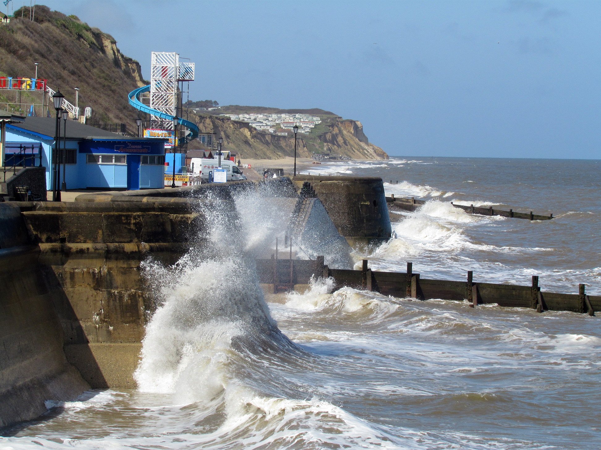
Closed at the time of this photo owing to storm damage. |
mannidaze |
Thursday 3rd of December 2015 04:15:38 PM |
|
Alan McFaden |
Saturday 8th of November 2014 11:06:02 AM |


User Comment Contributions
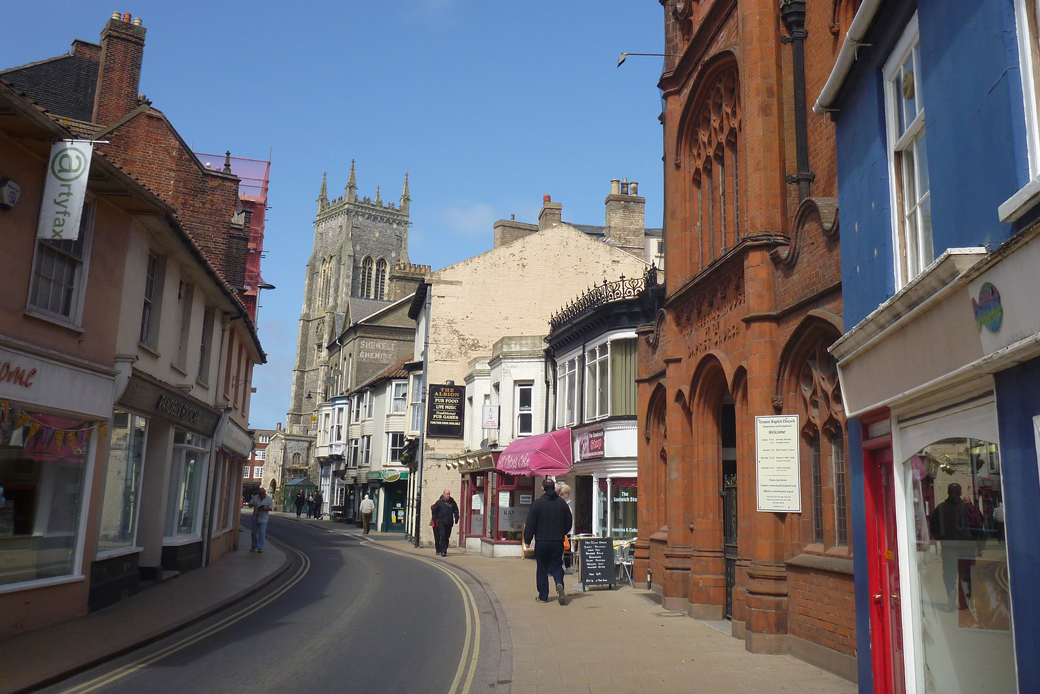
Cromer Streets |
Alan McFaden |
Saturday 8th of November 2014 11:09:34 AM |
Cromer Seafront from the Pier |
Alan McFaden |
Saturday 8th of November 2014 11:09:01 AM |
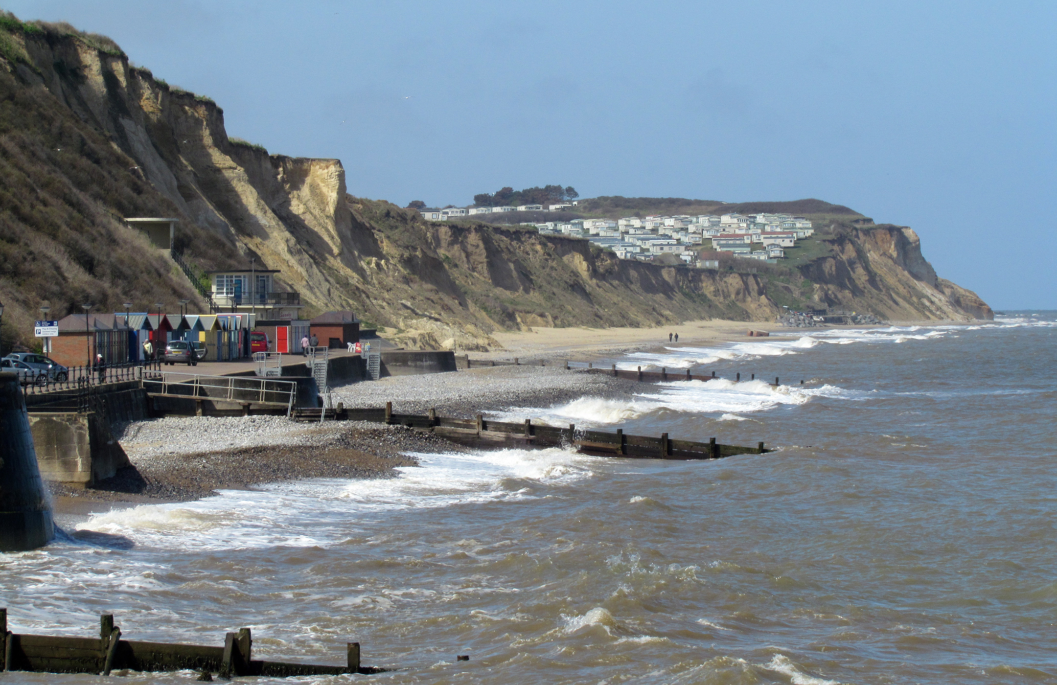
Cromer Beach and Cliffs |
Alan McFaden |
Saturday 8th of November 2014 11:08:11 AM |
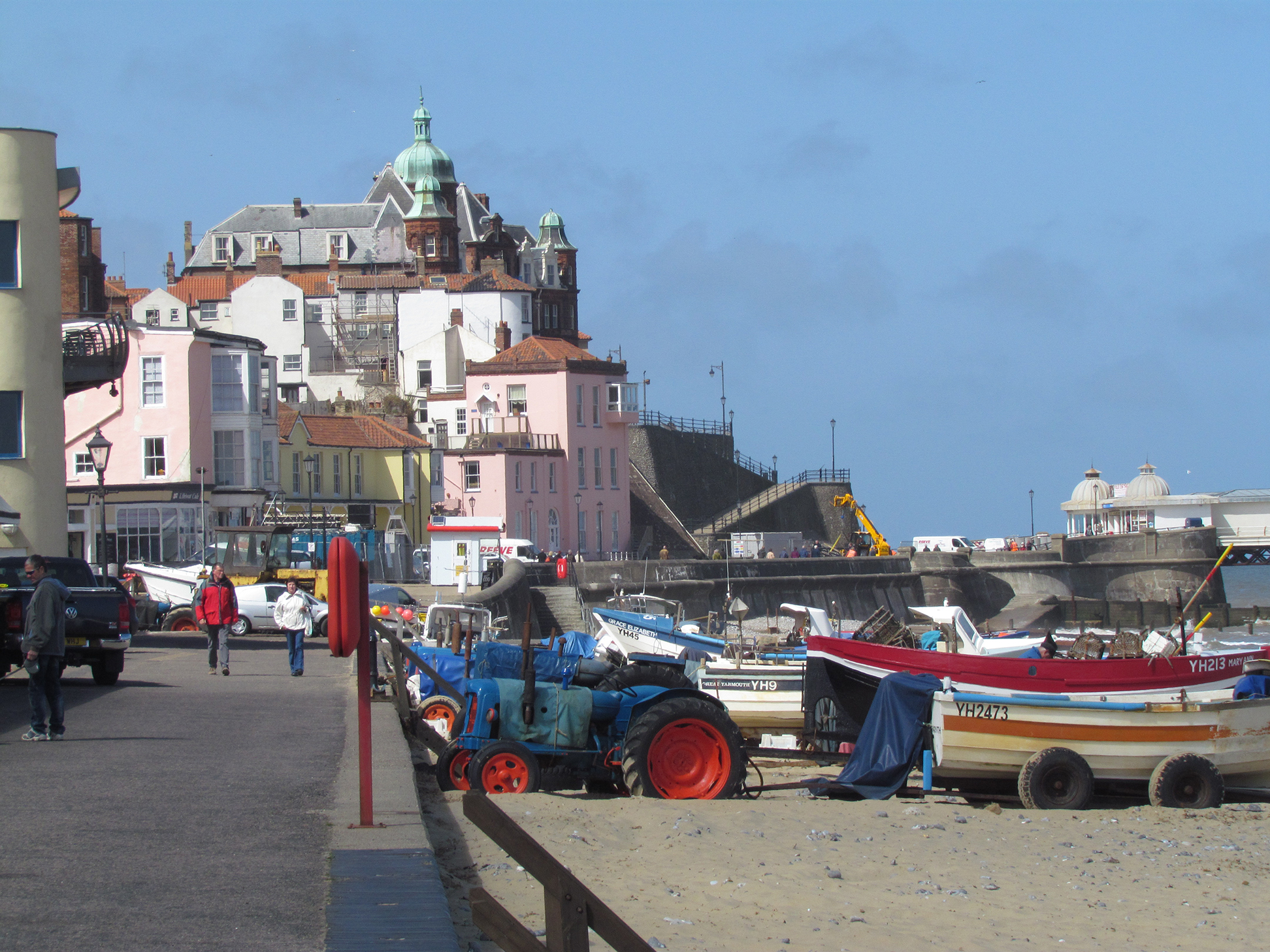
Cromer Beach |
Alan McFaden |
Saturday 8th of November 2014 11:07:46 AM |
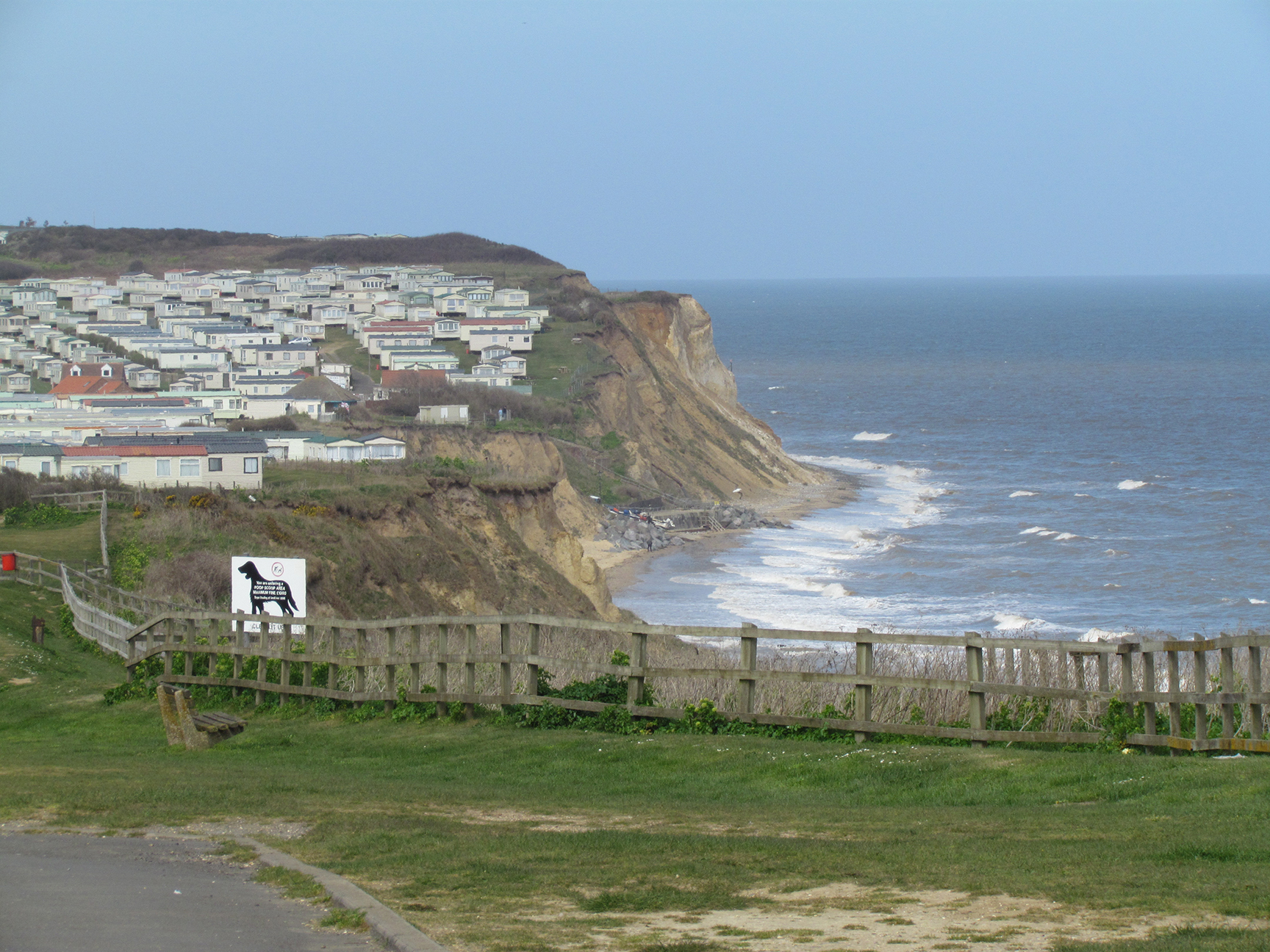
Cromer Cliff Top |
Alan McFaden |
Saturday 8th of November 2014 11:07:26 AM |
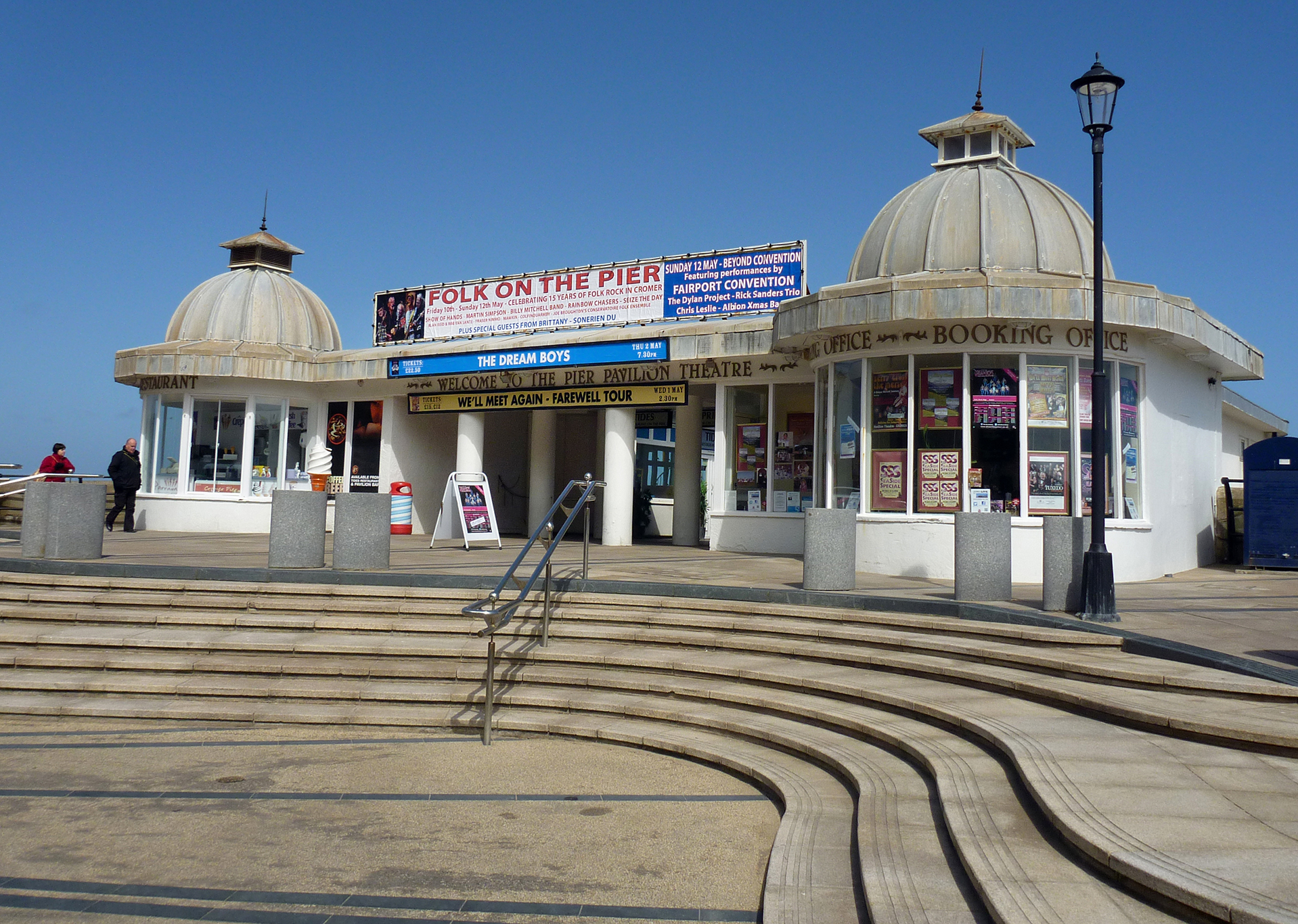
Cromer Pier |
Alan McFaden |
Saturday 8th of November 2014 11:07:04 AM |