EAW051641 ENGLAND (1953). The town and seafront, Cromer, 1953
© Copyright OpenStreetMap contributors and licensed by the OpenStreetMap Foundation. 2026. Cartography is licensed as CC BY-SA.
Nearby Images (12)
Details
| Title | [EAW051641] The town and seafront, Cromer, 1953 |
| Reference | EAW051641 |
| Date | 26-August-1953 |
| Link | |
| Place name | CROMER |
| Parish | CROMER |
| District | |
| Country | ENGLAND |
| Easting / Northing | 622131, 342146 |
| Longitude / Latitude | 1.3054399252579, 52.930367371149 |
| National Grid Reference | TG221421 |
Pins
User Comment Contributions

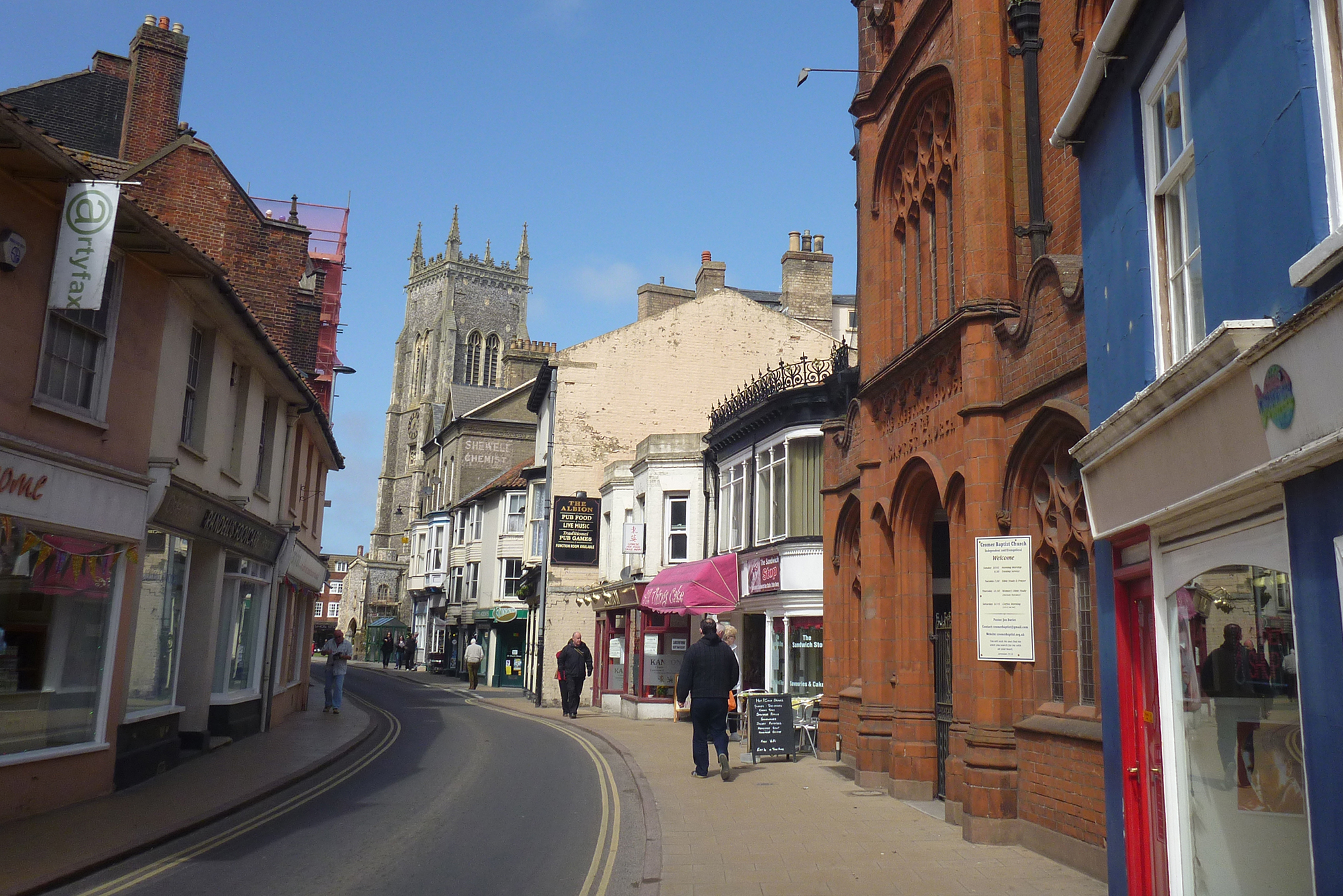
Cromer Streets |

Alan McFaden |
Sunday 16th of November 2014 09:48:56 AM |

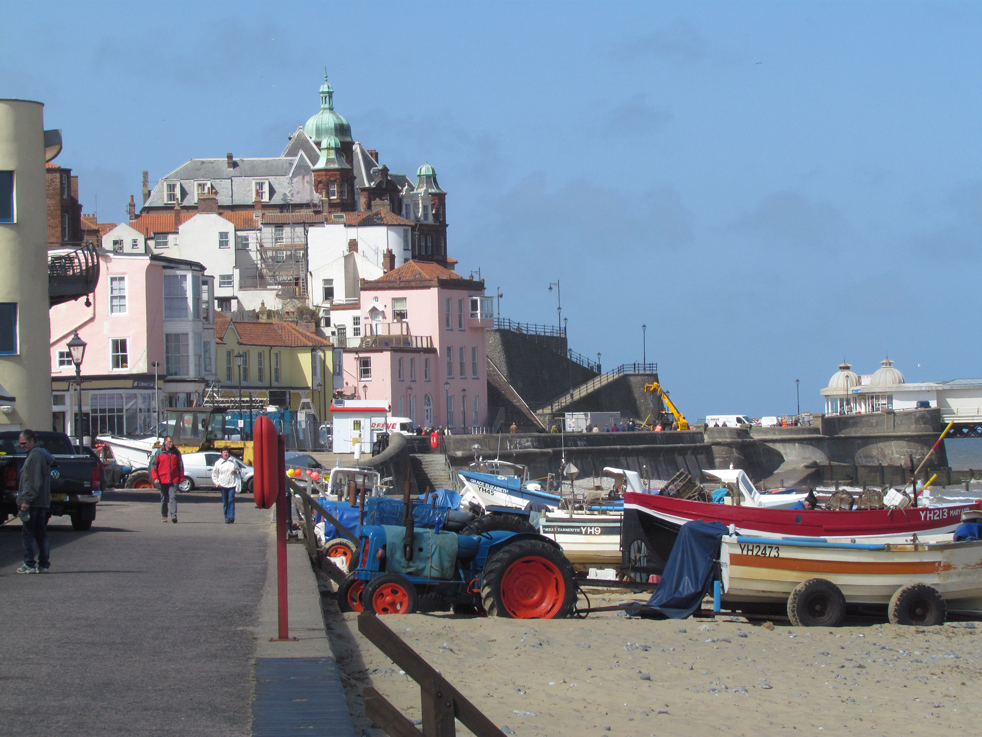
Cromer Seafront |

Alan McFaden |
Sunday 16th of November 2014 09:48:36 AM |


![[EAW051641] The town and seafront, Cromer, 1953](http://britainfromabove.org.uk/sites/all/libraries/aerofilms-images/public/100x100/EAW/051/EAW051641.jpg)
![[EPW001816] View of Cromer, the pier and St Peter and St Paul's Church, Cromer, 1920](http://britainfromabove.org.uk/sites/all/libraries/aerofilms-images/public/100x100/EPW/001/EPW001816.jpg)
![[EAW051642] St Peter & St Paul's Church, the town and seafront, Cromer, 1953](http://britainfromabove.org.uk/sites/all/libraries/aerofilms-images/public/100x100/EAW/051/EAW051642.jpg)
![[EPW001811] View of Cromer, St Peter and St Paul's Church and the pier, Cromer, 1920](http://britainfromabove.org.uk/sites/all/libraries/aerofilms-images/public/100x100/EPW/001/EPW001811.jpg)
![[EAW051647] The Pier and the town, Cromer, 1953](http://britainfromabove.org.uk/sites/all/libraries/aerofilms-images/public/100x100/EAW/051/EAW051647.jpg)
![[EAW051640] The beach, Doctor's Steps and environs, Cromer, 1953](http://britainfromabove.org.uk/sites/all/libraries/aerofilms-images/public/100x100/EAW/051/EAW051640.jpg)
![[EPW021227] St Peter and St Paul's Church and the Pier, Cromer, 1928](http://britainfromabove.org.uk/sites/all/libraries/aerofilms-images/public/100x100/EPW/021/EPW021227.jpg)
![[EPW001812] St Peter and St Paul's Church, the Esplanade and pier, Cromer, 1920](http://britainfromabove.org.uk/sites/all/libraries/aerofilms-images/public/100x100/EPW/001/EPW001812.jpg)
![[EAW051639] The beach, Doctor's Steps and environs, Cromer, 1953](http://britainfromabove.org.uk/sites/all/libraries/aerofilms-images/public/100x100/EAW/051/EAW051639.jpg)
![[EPW039248] The pier and the town, Cromer, 1932. This image has been produced from a copy-negative.](http://britainfromabove.org.uk/sites/all/libraries/aerofilms-images/public/100x100/EPW/039/EPW039248.jpg)
![[EAW051646] The Pier and the town, Cromer, 1953](http://britainfromabove.org.uk/sites/all/libraries/aerofilms-images/public/100x100/EAW/051/EAW051646.jpg)
![[EPW001815] Cromer Pier and St Peter and St Paul's Church, Cromer, 1920](http://britainfromabove.org.uk/sites/all/libraries/aerofilms-images/public/100x100/EPW/001/EPW001815.jpg)

