
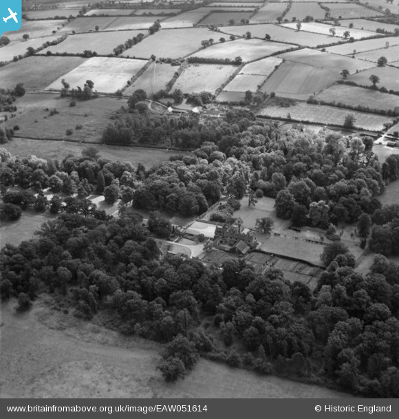
EAW051614 ENGLAND (1953). Rainthorpe Hall, Flordon, 1953
© Copyright OpenStreetMap contributors and licensed by the OpenStreetMap Foundation. 2025. Cartography is licensed as CC BY-SA.
Nearby Images (4)
EAW051614

EAW051617

EAW051616

EAW051615

Details
| Title | [EAW051614] Rainthorpe Hall, Flordon, 1953 |
| Reference | EAW051614 |
| Date | 26-August-1953 |
| Link | |
| Place name | FLORDON |
| Parish | FLORDON |
| District | |
| Country | ENGLAND |
| Easting / Northing | 620341, 297159 |
| Longitude / Latitude | 1.2486663752136, 52.527299953671 |
| National Grid Reference | TM203972 |
Pins
Be the first to add a comment to this image!