
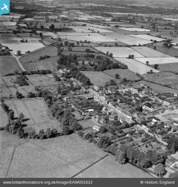
EAW051613 ENGLAND (1953). Buckenham Castle and the village, New Buckenham, 1953
© Copyright OpenStreetMap contributors and licensed by the OpenStreetMap Foundation. 2026. Cartography is licensed as CC BY-SA.
Nearby Images (2)
EAW051613

EAW051611

Details
| Title | [EAW051613] Buckenham Castle and the village, New Buckenham, 1953 |
| Reference | EAW051613 |
| Date | 26-August-1953 |
| Link | |
| Place name | NEW BUCKENHAM |
| Parish | NEW BUCKENHAM |
| District | |
| Country | ENGLAND |
| Easting / Northing | 608666, 290344 |
| Longitude / Latitude | 1.0725369921481, 52.470711180564 |
| National Grid Reference | TM087903 |
Pins
Be the first to add a comment to this image!
User Comment Contributions
New Buckenham in 1953. |

166wow |
Monday 29th of June 2015 09:42:49 PM |