
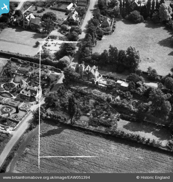
EAW051394 ENGLAND (1953). Quarry Cottage (House) and Racecourse Lane, Norton, 1953. This image was marked by Aerofilms Ltd for photo editing.
© Copyright OpenStreetMap contributors and licensed by the OpenStreetMap Foundation. 2025. Cartography is licensed as CC BY-SA.
Nearby Images (6)
EAW051394
 and Racecourse Lane, Norton, 1953. This image was marked by Aerofilms Ltd for photo editing.")
EAW051393
 and Ounty John Lane, Norton, 1953. This image was marked by Aerofilms Ltd for photo editing.")
EAW051396
 and Loughrigg, Norton, 1953. This image was marked by Aerofilms Ltd for photo editing.")
EAW051395
, Norton, 1953. This image was marked by Aerofilms Ltd for photo editing.")
EAW051397
, Norton, 1953. This image was marked by Aerofilms Ltd for photo editing.")
EAW051398
, Norton, 1953. This image was marked by Aerofilms Ltd for photo editing.")
Details
| Title | [EAW051394] Quarry Cottage (House) and Racecourse Lane, Norton, 1953. This image was marked by Aerofilms Ltd for photo editing. |
| Reference | EAW051394 |
| Date | 12-August-1953 |
| Link | |
| Place name | NORTON |
| Parish | |
| District | |
| Country | ENGLAND |
| Easting / Northing | 390082, 282139 |
| Longitude / Latitude | -2.1459090041024, 52.43675990551 |
| National Grid Reference | SO901821 |
Pins
Be the first to add a comment to this image!