
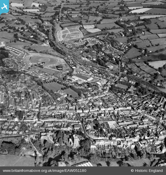
EAW051180 ENGLAND (1953). The town centre, Tiverton, 1953
© Copyright OpenStreetMap contributors and licensed by the OpenStreetMap Foundation. 2026. Cartography is licensed as CC BY-SA.
Nearby Images (5)
EAW051180

EAW051178

EPW024000

EAW051181

EAW051182

Details
| Title | [EAW051180] The town centre, Tiverton, 1953 |
| Reference | EAW051180 |
| Date | 6-August-1953 |
| Link | |
| Place name | TIVERTON |
| Parish | TIVERTON |
| District | |
| Country | ENGLAND |
| Easting / Northing | 295874, 112714 |
| Longitude / Latitude | -3.4810390559577, 50.903945683607 |
| National Grid Reference | SS959127 |
Pins

Stu Giles |
Wednesday 27th of June 2018 04:49:40 PM |