
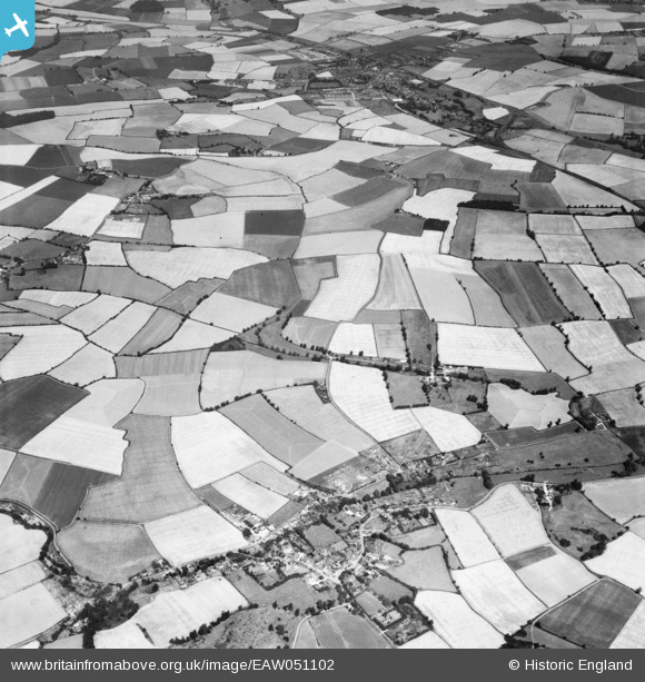
EAW051102 ENGLAND (1953). Garland's Farm, the village and the surrounding countryside, Steeple Bumpstead, 1953
© Copyright OpenStreetMap contributors and licensed by the OpenStreetMap Foundation. 2026. Cartography is licensed as CC BY-SA.
Nearby Images (3)
EAW051102

EAW051099

EAW051103

Details
| Title | [EAW051102] Garland's Farm, the village and the surrounding countryside, Steeple Bumpstead, 1953 |
| Reference | EAW051102 |
| Date | 10-August-1953 |
| Link | |
| Place name | STEEPLE BUMPSTEAD |
| Parish | STEEPLE BUMPSTEAD |
| District | |
| Country | ENGLAND |
| Easting / Northing | 567641, 242346 |
| Longitude / Latitude | 0.44528822171542, 52.053684809493 |
| National Grid Reference | TL676423 |
Pins

Matt Aldred edob.mattaldred.com |
Sunday 12th of April 2020 12:14:45 PM |