
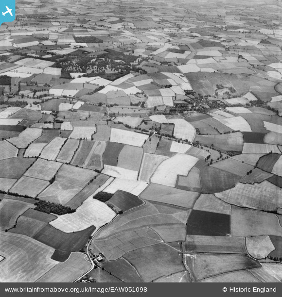
EAW051098 ENGLAND (1953). Garland's Farm, Moyn's Park and the village, Steeple Bumpstead, 1953
© Copyright OpenStreetMap contributors and licensed by the OpenStreetMap Foundation. 2026. Cartography is licensed as CC BY-SA.
Nearby Images (3)
EAW051098

EAW051097

EAW051103

Details
| Title | [EAW051098] Garland's Farm, Moyn's Park and the village, Steeple Bumpstead, 1953 |
| Reference | EAW051098 |
| Date | 10-August-1953 |
| Link | |
| Place name | STEEPLE BUMPSTEAD |
| Parish | STEEPLE BUMPSTEAD |
| District | |
| Country | ENGLAND |
| Easting / Northing | 568059, 242406 |
| Longitude / Latitude | 0.45140884896573, 52.054097200809 |
| National Grid Reference | TL681424 |
Pins
Be the first to add a comment to this image!