
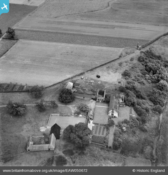
EAW050672 ENGLAND (1953). Farm at Hardham Priory, Hardham, 1953
© Copyright OpenStreetMap contributors and licensed by the OpenStreetMap Foundation. 2026. Cartography is licensed as CC BY-SA.
Nearby Images (2)
EAW050672

EAW050671

Details
| Title | [EAW050672] Farm at Hardham Priory, Hardham, 1953 |
| Reference | EAW050672 |
| Date | 15-July-1953 |
| Link | |
| Place name | HARDHAM |
| Parish | COLDWALTHAM |
| District | |
| Country | ENGLAND |
| Easting / Northing | 503466, 117138 |
| Longitude / Latitude | -0.52708954158019, 50.943837996519 |
| National Grid Reference | TQ035171 |
Pins

Dan Gregory |
Saturday 20th of August 2016 12:39:21 PM | |
|
Dan Gregory |
Saturday 20th of August 2016 12:38:52 PM |